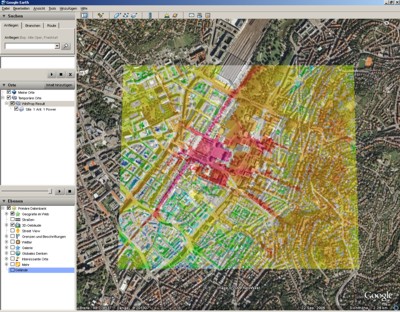
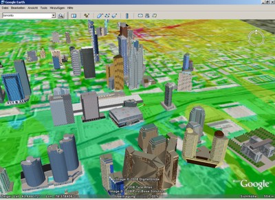
Export to Google Earth
Google Earth™ Overlay Data
ProMan offers the possibility to export prediction data to Google Earth™. Click File menu .
The following images formats are supported:
- .bmp
- .jpg
- .pcx
- .png
- .tga
.tif
Besides the image file, the export functionality automatically generates a .kml file, which can be loaded with Google Earth™ to visualize the prediction result as an overlay.