Export to Geo-Referenced Bitmap
Geo-Referenced Bitmap
Export the geo-referenced data by clicking .
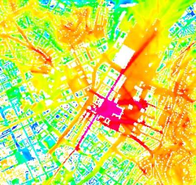
The geo-referenced bitmap export of ProMan creates a bitmap where each pixel of the prediction area becomes a pixel of the resulting bitmap. Additionally, an ASCII file containing the geographical information is created. This export option can be used to visualize WinProp prediction data in third-party GIS tools.
The following images formats are supported:
- .bmp
- .jpg
- .pcx
- .png
- .tga
- .tif

The ASCII file contains the following information:
- Line 1: Pixel size in the x-direction in map units per pixel.
- Line 2: Rotation about the y-axis.
- Line 3: Rotation about the x-axis.
- Line 4: Pixel size in the y-direction in map units per pixel.
- Line 5: X-coordinate in meter of the center of the upper-left pixel.
- Line 6: Y-coordinate in meter of the center of the upper-left pixel.