Rural / Suburban
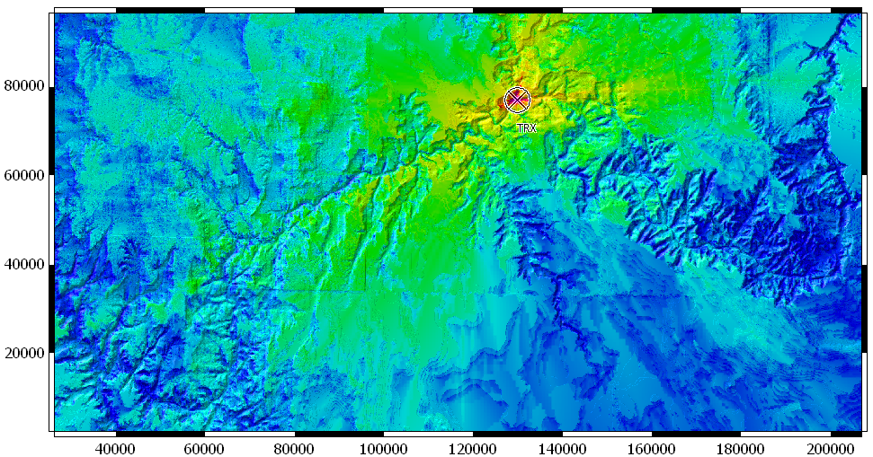
The main content of a rural/suburban database is a description of the terrain profile (the elevation map). A second feature is a clutter / land usage map, indicating whether the signals interact with forest, fields, buildings, water, etc.
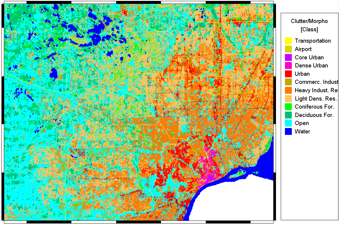
Note that the land-usage map can include urban areas. The database is called rural-suburban because buildings are not defined explicitly. One can transition smoothly from explicit urban databases (with elevation profile) to rural / suburban ones.
With rural / suburban databases, areas of several hundred by several hundred kilometers are routinely handled.
Atmospheric effects such as frequency-dependent attenuation can be included. Altitude-dependent gradients in refractive index are not included at the time of this writing (2017).