Viewing the Clutter Database
View the clutter database to obtain information regarding land usage.
-
In the tree, expand
 Database to view the imported databases.
-
In the tree, click
 Clutter/Morpho to view the land usage of the hilly
terrain.
Clutter/Morpho to view the land usage of the hilly
terrain.
Figure 1. Top view of the clutter database. 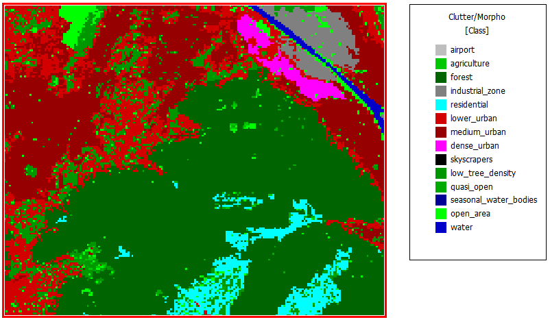
Note: The city center is located at the top right, indicated in pink. -
Observe the land usage in Figure 1.
- Upper left of database: medium-density urban and low-density urban
- Upper right of database: city center and industrial zone
- Center of database: Forested hills
-
View the topography database along with the clutter database.
-
On the Settings menu, click
 Local Settings (Display of data).
-
Select the Topography database (DEM) check
box.
Figure 2. Top view of the clutter database along with the topography. 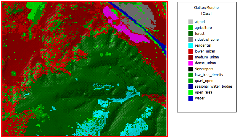
-
On the Settings menu, click