Rural Vector Objects
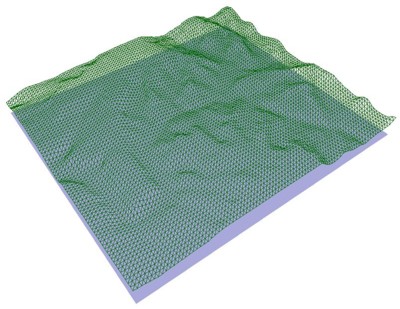
Rural vector databases describe the simulation environment based vector topography and clutter databases.
To limit the complexity of the file and data format, WinProp
supports only planar objects. The elements can have an arbitrary number of corners. The
more planar objects, the better the approximation – but also the longer the computation
times during the propagation analysis. Rural vector databases offer the following
features:
- 3D vector oriented database
- Topography, clutter and building data as planar objects with polygonal shape
- Arbitrary location and orientation in space
- Individual material properties
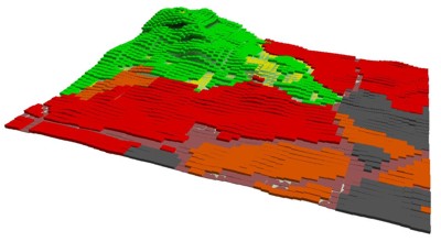
Similar to the topographical data, clutter maps are also converted from raster data to 3D vector data taking account the clutter heights and the electrical properties of the materials defined for each clutter class individually. This approach allows a real 3D representation of the land usage maps.
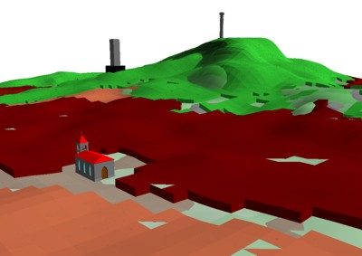
Besides topography and clutter data, vector data of building can be considered optionally.
Generation and Conversion
Rural vector databases can be generated and converted with the WallMan software.